** Darla Travels is reader-supported.
When you buy through our links, we may earn a commission at no cost to you. **
If you’re experiencing wanderlust or are in an exploratory mood, consider getting out on one of Denver’s regional trails. With the trail’s end literally miles away, hours of recreation await walkers, runners, hikers, and cyclists.
About Denver’s Regional Trails
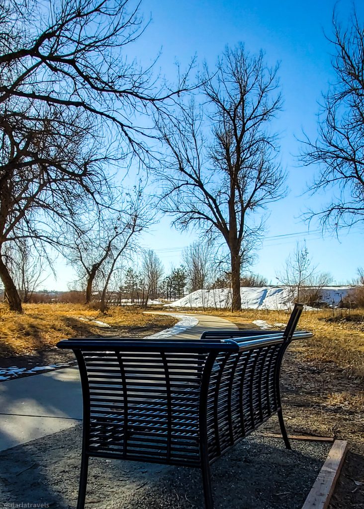
Denver’s Regional trails are also suitable for rollerblades, strollers, and in some places, wheelchairs. These trails can be used year-round, as most are paved and some are cleared of snow in the winter.
Each of the four regional trails described below offers a variety of natural landscapes interspersed with urban backdrops. And each has its own personality. Whether you live in Denver or are visiting, you’re probably not far from an access point for one of these four regional trails. So start walking, running, or riding in the city; before you know it, you’ll get away from it all.

Note that the routes described in this post are the four leading regional trails covering an appreciable part of Denver. Several other Denver metro area regional trails are not mentioned here. They either don’t extend into the city or only touch Denver in a limited capacity. The trails as well as other points of interest highlighted in this post are marked my regional trail map which appears near the end of this article. Knowing that, you can jump straight to the trail map for a visual, or start reading about the Cherry Creek Regional Trail.
The Cherry Creek Regional Trail
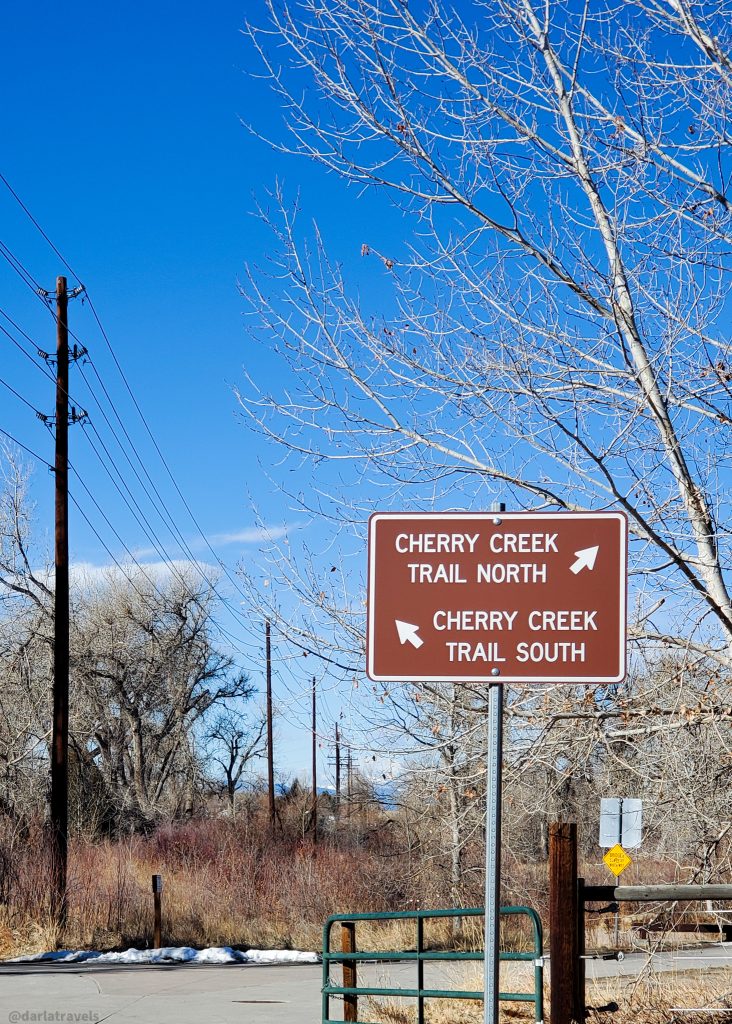
Starting downtown at Denver’s Confluence Park and following Cherry Creek, this 45-mile (72.4-km) paved path is popular with weekday cyclists commuting downtown. From the city, the trail parallels Speer Boulevard southward through urban neighborhoods, then skirts the Cherry Creek community with its upscale boutiques, restaurants, and shopping mall.
Outside the Denver boundary, the Cherry Creek Regional Trail passes through suburbs, Cherry Creek State Park, more suburbs, parks, historical sights, and open space before terminating south of Highway 86 near Franktown. There are plans to extend the trail into Castlewood Canyon State Park. Although the trail extension was forecasted to be complete by 2023, construction has yet to take place.
The Best Part of the Cherry Creek Regional Trail
One of the best parts of the Cherry Creek Regional Trail is south of the Arapahoe Road Trailhead in Centennial. Here, the trail passes through two adjacent open space areas followed by the historic 17 Mile House Farm Park.
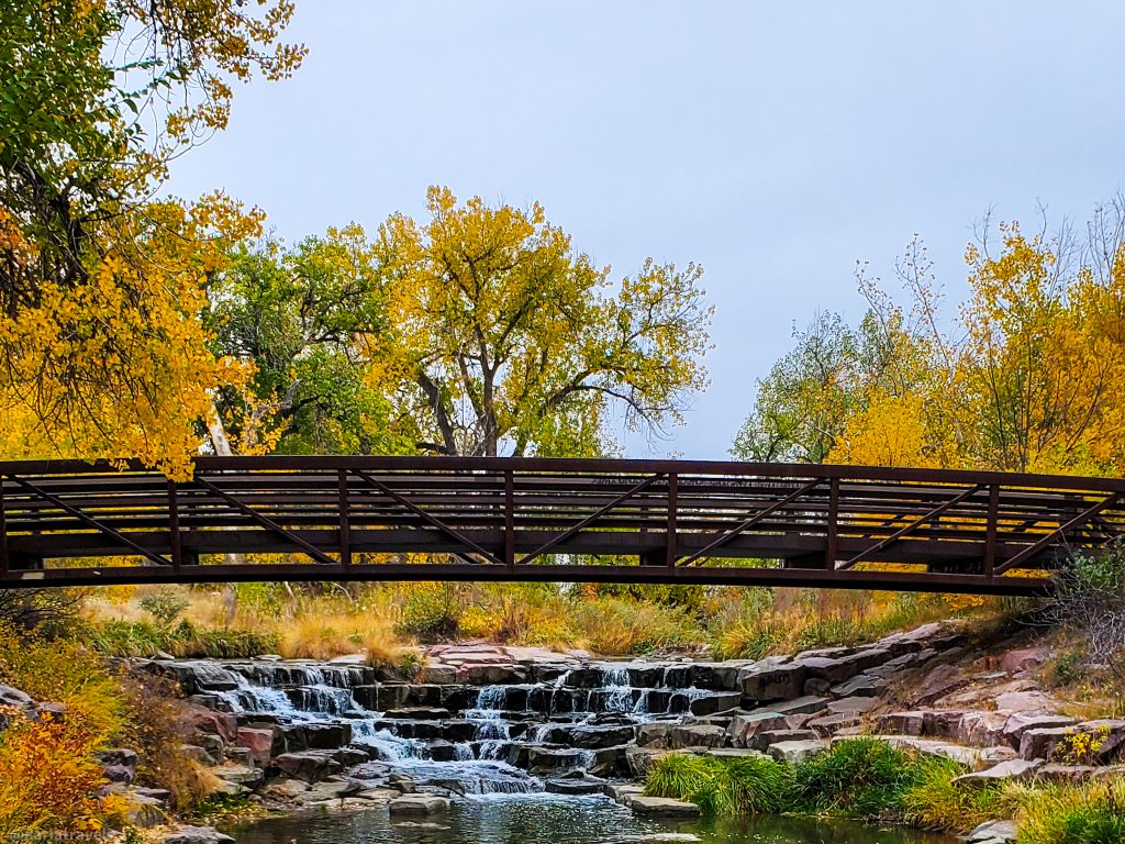
South of the trailhead, after a short stretch of trail that isn’t too inspiring, the path comes to the 75-acre (30.4 ha) Cherry Creek Valley Ecological Park. This natural area, accessed via a pedestrian bridge, has internal trails with a raised boardwalk, a gazebo, and a pond to support native plants and animals.
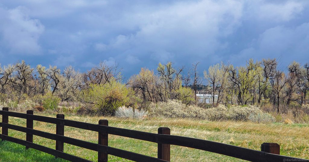
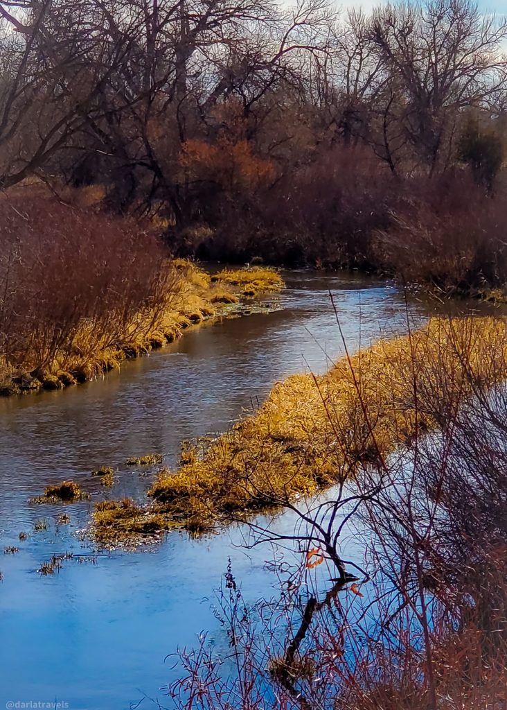
To the south, the neighboring Parker Jordan Centennial Open Space encompasses 107 acres (43.3 ha). Cherry Creek Trail-goers can enjoy the woodsy riparian habitat, complete with mature cottonwood trees.
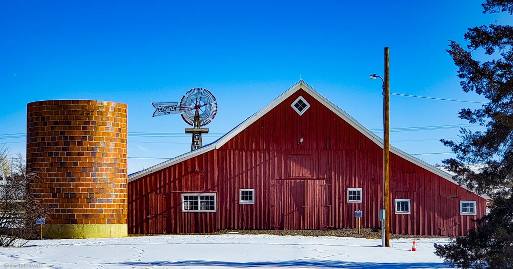
South of the open space, look to the east for a view of the 17 Mile House Farm Park. With its origins in the 1860s, the site housed an inn for travelers heading to Denver on the historic Smoky Hill Trail. As the property changed hands, farm operations were added. On the National Register of Historic Places, it’s worth a short detour to see the carefully restored historic farm buildings: the house, red barn, silo, and milk shed.
Practical Information for the Cherry Creek Regional Trail
| Trail Surface and Distance: | 45-mile (72.4-km), paved |
| Regional Trail Intersections: | South Platte River Trail at downtown Denver’s Confluence Park High Line Canal Trail at Cherry Creek Country Club Golf Course |
| Mile Markers | Yes |
| Colorado Trail Explorer | The interactive map shows trailheads with other practical information, such as restroom and picnic table availability. |
| TrailLink: | Another interactive map with amenities marked (free registration required). |
The South Platte River Trail/Mary Carter Greenway
The second regional trail passing through Denver is a continuous 44.7-mile (71.9-km) paved trail following the South Platte River. It originates northeast of Denver in Brighton and ends near Littleton in the southwest metro area. The northern segment is called the South Platte River Trail, while the southernmost 10-mile (16.1 km) stretch of the trail starting at Dartmouth Avenue goes by the name Mary Carter Greenway.
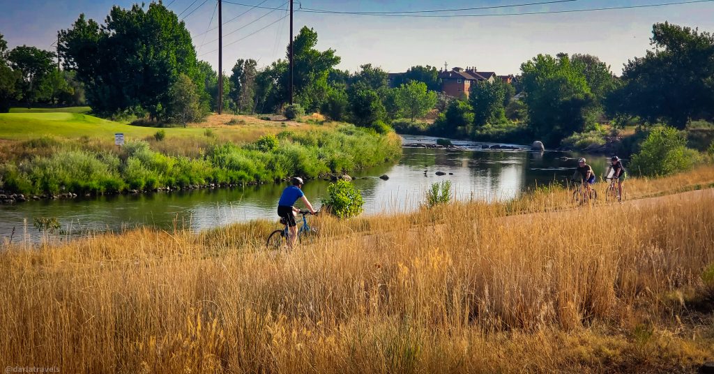
From downtown Denver, the trail sees a mix of industrial areas, residential neighborhoods, shopping centers, and open space. Look for kayakers and other river recreation at the whitewater parks dotted along this route.
In addition to intersecting the Cherry Creek Trail downtown, the South Platte River Trail also intersects the western terminus of the Sand Creek Regional Trail described below, where Sand Creek flows into the South Platte River in Commerce City.
The Best Part of the South Platte River Trail/Mary Carter Greenway
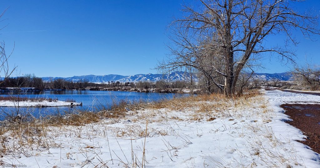
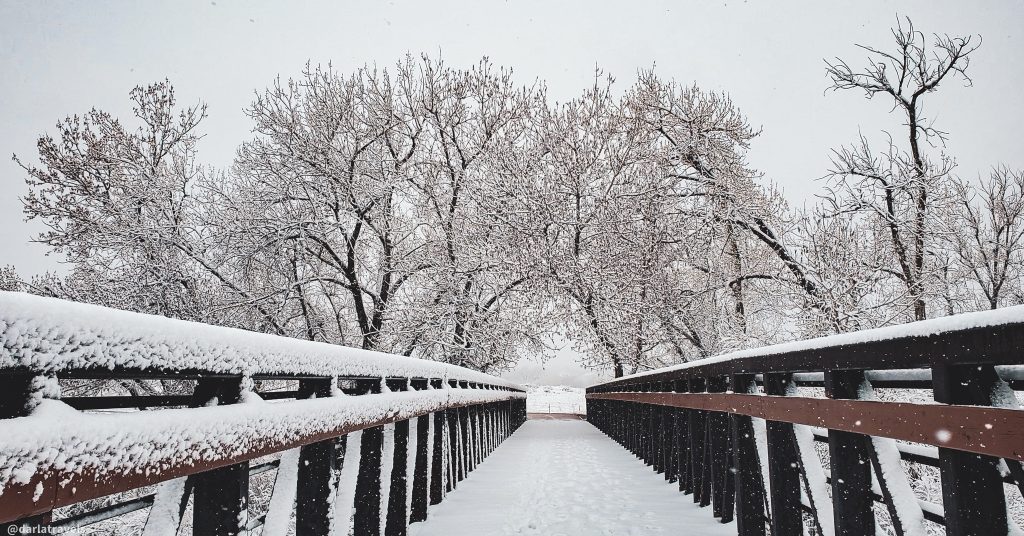
The trail portion just south of Littleton’s Hudson Gardens and Nixon’s Coffeehouse (open in warmer months) is particularly scenic. Excellent river views and waterfowl can be had near Reynolds Landing. Additional wildlife sightings–raptors, deer, and more waterfowl– are common within South Platte Park, which has several small lakes visible from the path. At the end of the named trail, the pavement continues on the C-470 trail and into Chatfield State Park, which has many more miles of roads and trails to explore.
Practical Information for the South Platte River Trail/Mary Carter Greenway
| Trail Surface and Distance: | 44.7-mile (71.9-km), paved |
| Regional Trail Intersections: | Cherry Creek Regional Trail at downtown Denver’s Confluence Park Sand Creek Regional Greenway near Commerce City |
| Mile Markers | Yes |
| Colorado Trail Explorer | The interactive maps for the South Platte River Trail and the Mary Carter Greenway show trailheads and amenities. |
| TrailLink: | Additional interactive maps for the South Platte River Trail and the Mary Carter Greenway with amenities marked (free registration required). |
The Sand Creek Regional Greenway
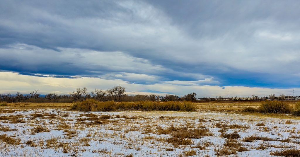
The shortest of the four regional trails described here, the Sand Creek Regional Greenway, is about 14 miles (22.5 km) of paved and natural path. Slicing across the northeast corner of the Denver metro area, this trail invites you to experience “wilderness in the city.”
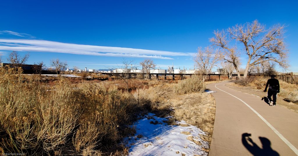
Sand Creek, which the trail follows, has a rich history but hasn’t always been a pristine environment. Many sections of the creek still have an industrial backdrop, and parts of the trail are marred by trash. However, through efforts of the overseeing organization, restoration of the creek and adjacent greenway is an ongoing project. Improvements are visible in the form of increased biodiversity and improved water quality. Visiting the Sand Creek Regional Greenway is like getting a lesson in stewardship and community engagement.
For more, visit the Sand Creek Regional Greenway Partnership.
As mentioned above, the Sand Creek Regional Greenway connects with the South Platte River Trail. At the Triple Creek Trailhead, it also intersects the final trail in this series, the High Line Canal Trail.
The Best Part of the Sand Creek Regional Greenway
Two sections of the Sand Creek Regional Greenway compete for the ” best ” designation.
The first favorite is the Star K Ranch section of the Greenway near the Morrison Nature Center. In this area, you can view the Rocky Mountains in the distance, walk through lush meadows, and look for various wildlife. One of the best highlights is spotting bald eagles. These majestic birds often frequent the area, particularly during the winter months.
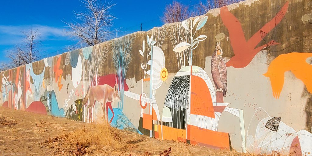
The second best part of the Greenway is the Art Walk section, starting at Smith Road trailhead in the Central Park area of Denver. Here, concrete walls next to the trail once supported runways crossing over Interstate 70 at Denver’s old Stapleton Airport. Now, local artists use the walls as the canvas for 200-foot (61-m) murals . The first mural was completed in 2020 by Colorado artist Yulia Avgustinovich and includes depictions of plants and animals found along the Greenway.
Practical Information for the Sand Creek Regional Greenway
| Trail Surface and Distance: | 14 miles (22.5 km); mostly paved, with some natural surface |
| Regional Trail Intersections: | South Platte River Trail near Commerce City High Line Canal Trail at the Triple Creek Trailhead in Aurora |
| Mile Markers | No |
| Colorado Trail Explorer | The interactive map can be found here. |
| TrailLink: | TrailLink has an additional interactive map for the Sand Creek Regional Greenway showing parking and other amenities (free registration required). |
| Official Organization Website | Sand Creek Regional Greenway Partnership |
High Line Canal Trail
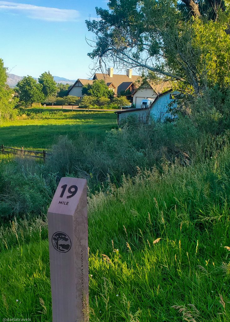
The final Denver regional trail to describe is the High Line Canal Trail. It originated as a maintenance road for a 71-mile (114.3 km) irrigation ditch completed in 1883. At 66 miles (106.2 km), it’s the longest of the four trails described here. Since the canal transported water solely by gravity, it followed the “high line” of elevation as it traveled, giving the trail its name. From its source at Waterton Canyon in the southwest to the terminus in the Green Valley Ranch neighborhood in northeast Denver, the trail drops just two feet per mile (0.38 meters per km). The trail surface varies by segment; it can be paved, dirt, or gravel.
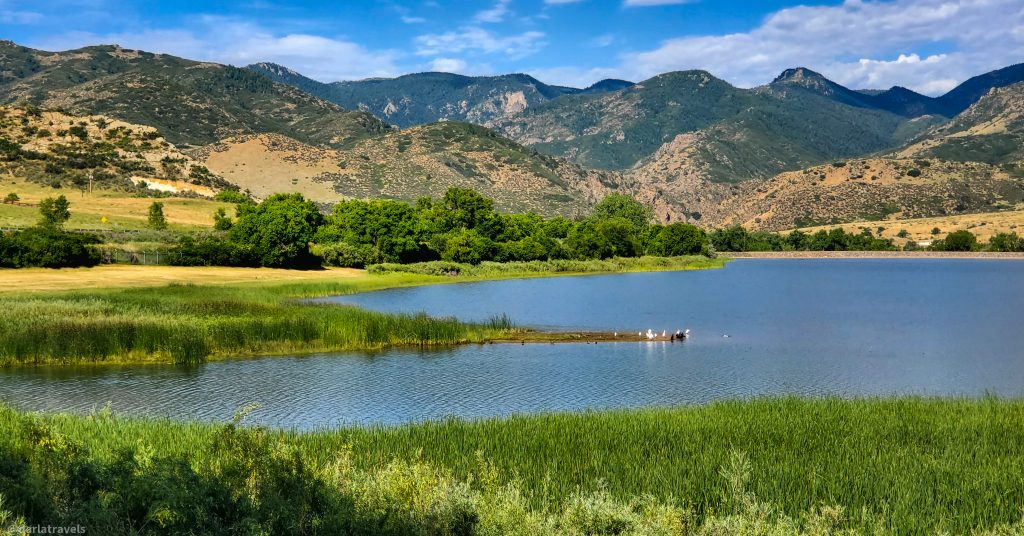
The High Line Canal Conservancy reports that over 1 million people use the trail for recreation annually. One of the reasons for the trail’s popularity is its ease of access. Over 350,000 people live within one mile (1.6 km) of the High Line Canal. And in addition to established trailheads, the High Line has dozens of neighborhood access points. For detailed information on how to get to the High Line Canal Trail near you, download maps from the High Line Canal Conservancy (email required).
The High Line Canal Trail intersects the Cherry Creek Regional Trail at the Cherry Creek Country Club Golf Course. It also connects to the Sand Creek Regional Greenway at the Triple Creek Trailhead.
The Best Part of the High Line Canal Trail
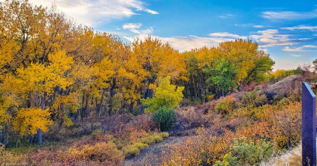
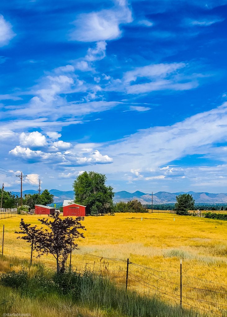
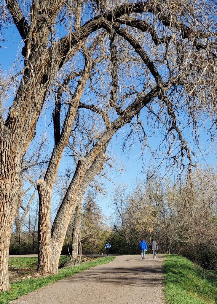
To see a nice mix of the canal ecosystem, preserved open space, and some of the metro area’s most affluent neighborhoods, start your trek at the Orchard Road trailhead in Greenwood Village (4011 E Orchard Rd.), which has a small parking lot and restroom. Traveling north, pass opulent homes, horse properties, and the Marjorie Perry Nature Preserve. This 59-acre (23.9 ha) open space is a scenic wildlife habitat with natural vegetation, wetlands, and internal trails.
Practical Information for the High Line Canal Trail
| Trail Surface and distance: | Paved or natural surface; varies by segment |
| Regional Trail Intersections: | Cherry Creek Regional Trail at Cherry Creek Country Club Golf Course Sand Creek Regional Greenway at the Triple Creek Trailhead in Aurora |
| Mile Markers | Yes |
| Colorado Trail Explorer | The interactive map can be found here. |
| TrailLink: | TrailLink has an additional interactive map for the Sand Creek Regional Greenway (free registration required). |
| AllTrails | Interactive Map with some accessible (disability-friendly) notes |
| Official Organization Website | The High Line Canal Conservancy |
Denver’s Regional Trail Map
This map highlights Denver’s main regional trails described in this post, along with points of interest. Routes are approximate and may not be continuous.
If you can’t see the map, or want to see the original, click here.
Where to Stay for Access to Denver’s Regional Trails
It’s pretty clear that Denver isn’t only skyscrapers and traffic—it’s a city that embraces outdoor activity through its regional trails. When you visit Denver, consider staying near a regional trail access point to facilitate your check-in to an urban adventure that will quickly move you into a natural environment.
Use the map below to see if there’s a trailside hotel for your next stay:
Or book your Denver hotel with one of these companies: Booking.com, Hotels.com, Expedia
Pins for Denver’s Regional Trails
Here are a couple of pins for your Pinterest Boards to remind you of Denver’s Regional Trails.
Summing up Denver’s Regional Trails
With four interconnected regional trails, outdoor lovers can enjoy hiking, biking, or walking in Denver and nearby nature spots throughout the metro area. These trails make it easy to connect with the outdoors for extended distances while staying close to the city’s comforts.
Denver must be a great base for hiking enthusiasts. I really live your pix!
Thank You! I do think we are very fortunate in the Denver are to have so many mountain and city options for hiking/walking.